
From space to stakeholders: protecting lives, powering profits
Satellites spot emission of greenhouse gases, trigger life-saving alerts, and empower financial institutions to tackle climate risks – transforming data from space into action for a safer, cleaner and more resilient world.
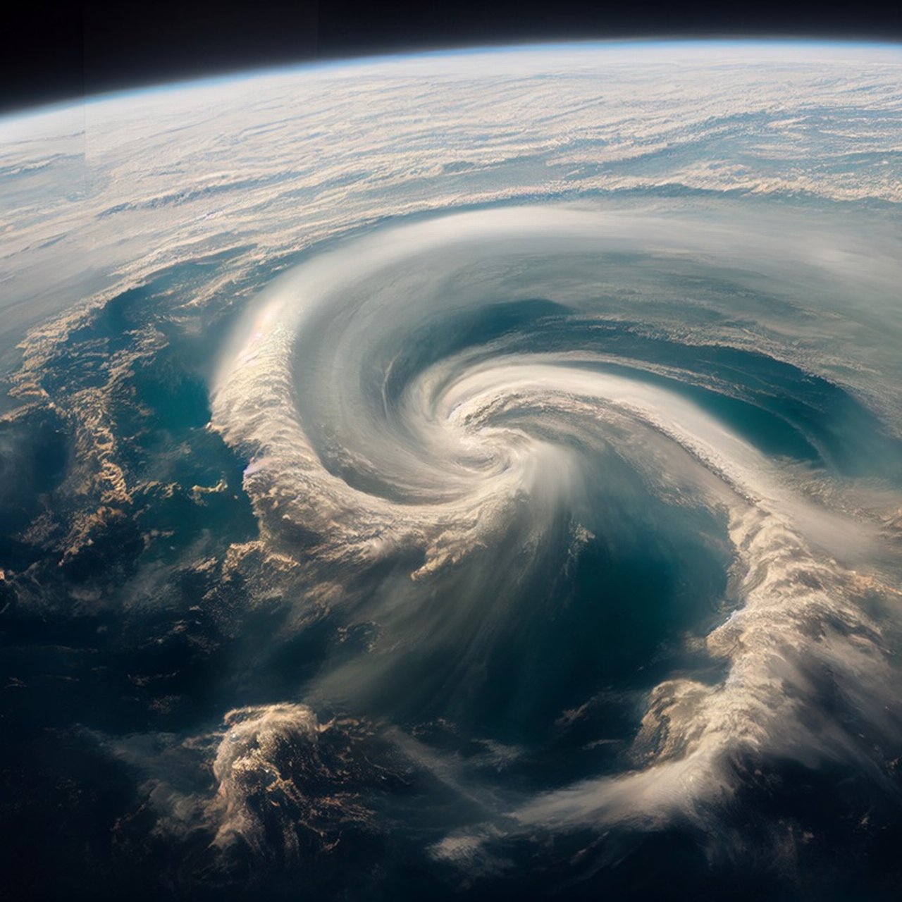
Satellites over Africa saved lives: when Cyclone Freddy tore across south-eastern Africa in spring 2023, it hit Malawi the hardest, pouring six months’ worth of rain in only six days. These flash floods and resulting mudslides took more than 1,500 lives. In Mozambique and Madagascar, losses were significantly lower – largely thanks to timely satellite-based warnings.
Events like these not only highlight how climate change is intensifying extreme weather around the globe, but they also provide tangible evidence of how much data from space can help to reduce the worst consequences.
A “Low Earth Orbit” (or “LEO”) refers to a region of space where a satellite travels in a low Earth orbit, typically at an altitude between 200 and 2,000 kilometers.
One of the main drivers behind climate change is the rise in greenhouse gases. Greenhouse gases are those that can trap thermal radiation, or heat, from Earth, such as CO₂, CH₄ and NO₂.
These greenhouse gases are essential in the right amounts, forming a “blanket” that keeps our planet warm enough to sustain life.
However, a sharp increase or decrease may affect the delicate atmospheric balance and an increase in the amount of heat-trapping gases in the air may adversely alter the global climate.
Satellite-based warning services becoming increasingly important
Identifying the amount and variation of greenhouse gases using satellite monitoring can help in getting early warning signals for many natural disasters. It can help with mitigation actions, such as evacuating people, adjusting infrastructure operations (e.g., air traffic management), moving goods, etc., leading to lives saved, injuries avoided, reduced property damage, minimized business interruption, and lower insurance payouts. Forecasted benefit from these early warning signals, as property loss from natural disasters could increase by 60% by 2040. And that means improved satellite data warning services will become more critical.
Recent macroeconomic research reveals that climate change poses unprecedented financial risks; each additional 1 °C of warming could reduce global GDP by 1-3%. The loss of GDP can be attributed to various factors, such as agricultural productivity (droughts), human health (more diseases or mortality), labour productivity (heat waves), sea-level rise (which causes flooding), and effects on tourism and household energy demand.
Climate change and nature degradation therefore pose risks to the economy and the financial sector.
The European Central Bank (ECB) and the national central banks of all EU Member States have started developing, together, statistical indicators – harmonised at the euro area level – for climate-related analysis.
The ECB has added a climate factor to its collateral framework to manage better financial risks from climate change.
A satellite ground station is a radio station on Earth, equipped with antennas, radio frequency equipment and control infrastructure, used to establish data communication links with spacecraft.
Financial institutions need critical data to assess climate risks
Satellite-based greenhouse gas monitoring provides financial institutions with critical data to accurately assess and manage these risks.
One of the significant components of the new European CO2 monitoring and verification support capacity is CO2M (Copernicus Anthropogenic Carbon Dioxide Monitoring Constellation), expected to be launched over the next few years. According to EUMETSAT (European Organisation for the Exploitation of Meteorological Satellites), there is evidence that climate change increases the frequency and intensity of extreme weather events, like heavy rainfall, flash floods, tropical storms, extreme winds, drought, and wildfires. By identifying these greenhouse gases, we can prepare for the effects of these hazards early.
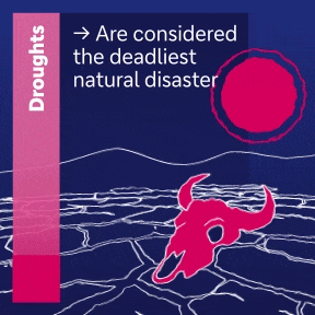
Droughts are considered the deadliest natural disaster.
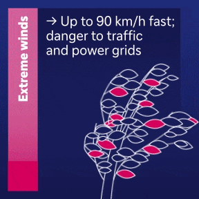
Extreme winds can be up to 90 km/h fast and put danger to traffic and power grids.
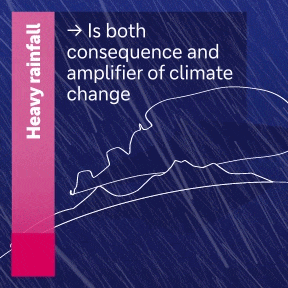
Heavy rainfall is both consequence and amplifier of climate change.
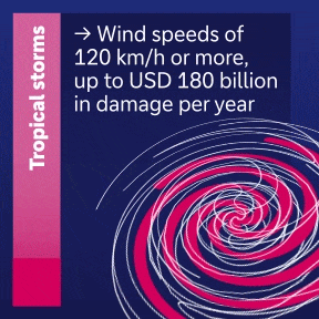
Tropical storms with wind speeds of 120 km/h or more cause up to 180 billion US dollars in damage per year.
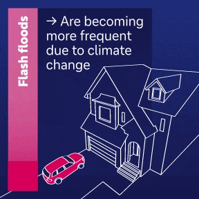
Flash floods are becoming more frequent due to climate change.
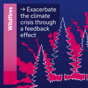
Wildfires exacerbate the climate crisis through a feedback effect.
How can measuring gases help warn of disasters?
Satellites that monitor the atmosphere (including greenhouse gases and other weather variables) provide a comprehensive view of Earth’s climate system, helping meteorologists and disaster management experts detect extreme events in advance.
Here are a few case studies that justify investing in identifying greenhouse gas-emission programmes.
Better communication saves lives
In June 2024 Abidjan in south-eastern Africa received six months’ worth of rain in six days. The water flooded the land, triggered landslides that swept away entire roads and bridges, razed villages to the ground and killed 24 people. On the one hand, a terrible toll – yet, as Daouda Konaté highlights: “The situation could have been far worse.” As Director of the Côte d'Ivoire’s National Meteorology Service and First Vice President of the World Meteorological Organization explains: “Early warning systems developed during the past decade have strengthened responses to severe weather events in Côte d'Ivoire.“
Looking at comparable storm disasters in other regions of the African continent suggests that Konaté might be right. In Malawi alone, for example, more than 1,000 people lost their lives and 800,000 lost their homes in the spring of 2023 because of flooding caused by Cyclone Freddy, which devastated the south of the country without warning.
A key question emerges: why were people in the greater Abidjan area able to protect themselves so much better? An ‘orange alert’ was immediately issued, when unprecedented rainfalls were predicted in Abidjan, and the response coordination was escalated to the highest levels of government. Via various communication channels people living in high-risk areas were urged to seek safe places to shelter.
More preparation time protects livelihoods
In April 1952, a sudden and violent storm – now understood as a polar low – destroyed five ships and claimed 79 lives north of Iceland. Polar lows are short-lived but severe storms that can unleash hurricane-force winds, white-out blizzards, trigger avalanches, and threaten lives and livelihoods.
“Polar lows are among the most hazardous weather systems we face in Norway,” says Roger Randriamampianina, a professor at the Norwegian Meteorological Institute.
Randriamampianina and his team published research demonstrating how satellite emitted radiation could improve storm prediction.
In Northern Europe, the ability to identify polar lows is vital for people and businesses in coastal areas. These early warning systems give fishermen, aviation, and residents in places like Norway a fighting chance to prepare for these “Arctic hurricanes”.
Polar lows are among the most hazardous weather systems we face in Norway
Better data means more effective control
The summer 2012 United States “flash drought” was the most extensive since 1930s. The “flash drought,” stoked by extreme heat that baked the moisture from soil and plants, led to widespread crop failure and economic losses costing more than $30 billion.
NASA’s Orbiting Carbon Observatory-2 (OCO-2) satellite, designed primarily to measure CO₂, has a unique ability to observe the faint fluorescent “glow” emitted by plants. In a recent breakthrough, scientists found that an unusual spike and then drop in plant's fluorescence indicates a potential drought, weeks or even months before ground conditions reveal it.
While early warnings cannot eliminate all impacts of flash droughts, Jordan Gerth, a scientist at the National Weather Service Office of Observations, notes that farmers and ranchers with advanced operations can more effectively manage irrigation to minimize crop impacts or avoid planting crops likely to fail.
In summary, timely notification about droughts empowers farmers, water managers, and governments to take proactive action.
A satellite is an object, typically a spacecraft, placed into orbit around a celestial body. They have a variety of uses, including communication relay, weather forecasting, navigation (GPS), broadcasting, scientific research, and Earth observation.
Early warning signals from satellites help prevent losses
A recent World Bank report suggests that between 1980 and 2022, total economic losses from weather- and climate-related events in Europe amounted to 650 billion euros (roughly €15.5 billion per year). A conservative valuation of losses that were avoided by heeding the satellites' early warning signals is close to 6.6 billion euros per year.
The early warning system also contributed to a 45 percent reduction in flood mortality rates between 2000 and 2017, resulting in a decrease from 6,025 to 3,331 deaths in EUMETSET member states.
Despite advances, challenges remain in satellite greenhouse gas monitoring. One issue is data timeliness. Getting real-time data down from the satellite, processing it and making it available to the decision-makers quickly is still a work in progress.
Required: massive funding and long-term commitment
Perhaps the biggest challenge, however, isn’t technical but political. These monitoring programs require massive funding and long-term commitment. The changing political landscape also posed a significant challenge to many of these satellite monitoring projects in recent times. Some major governments have shifted priorities away from international climate agreements, such as the Paris Agreement, towards short-term economic growth. On May 30, 2025, the White House Office of Management and Budget announced a plan to cancel at least 41 NASA space missions.
Despite the challenges, the trajectory is hopeful. In the coming years, as climate risks continue to grow, these satellite monitoring systems will be more critical than ever.
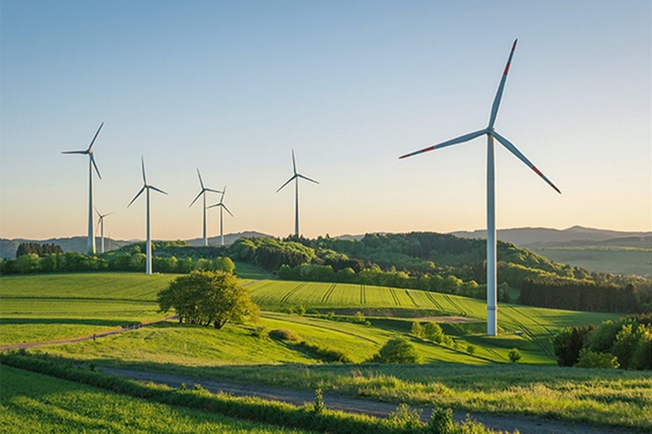
The role of data in the economy's transition to net-zero
Reducing the carbon footprint
Deutsche Bank has a holistic approach to the transition to net zero – supporting clients in accelerating their transition toward sustainability and net zero. This includes carbon emissions from our own operations as well as those from our supply chain – and emissions generated by our clients' financing activities.
The biggest challenge in achieving our net-zero target for 2050 is to decarbonize the bank’s lending portfolio, i.e., make it net zero. Collaborating with our clients to support them on their path to net zero is the most important the bank has to influence the economy's transition.
Deutsche Bank operations and supply chain emission reduction targets
New technology is crucial
The availability and quality of data influences major aspects of the transition plan – including the management of climate and other environmental risks.
The insights derived from data for climate risk analysis are crucial for the bank to make the right decisions and take appropriate actions. Given the diverse challenges regarding data availability, quality, completeness, and consistency, also the above-mentioned technology plays a key role.
Expert input
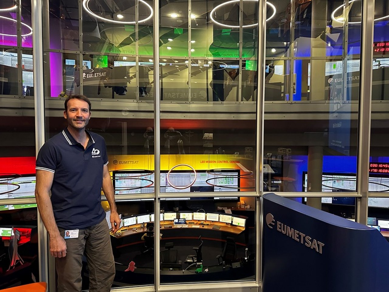
Expert inputs were provided by Mauro Pantaleoni. Mauro has two decades of experience in satellite systems and is currently working with the Copernicus Mission Development division at EUMETSAT, in Darmstadt. Beyond his professional commitments, he is passionate about tennis, windsurfing, quantum physics, psychology, and art in all its forms.
This page was published in February 2026.

Abhishek Vyas
… has, since childhood, viewed the night sky as a canvas for countless stars and endless imagination. His recent interest focuses on how satellite monitoring benefits humanity and transforms the world through its view from space.
Recommended content

Digital Disruption | Interview
“The truth comes from space” “The truth comes from space”
Space technology as a mass market, a Europe‑wide ecosystem for innovation – and minute‑by‑minute thermal images of the Earth: Thomas Grübler from OroraTech shares insights on the satellite and space data industry’s growth.
“The truth comes from space” Why orbit data is becoming a game changer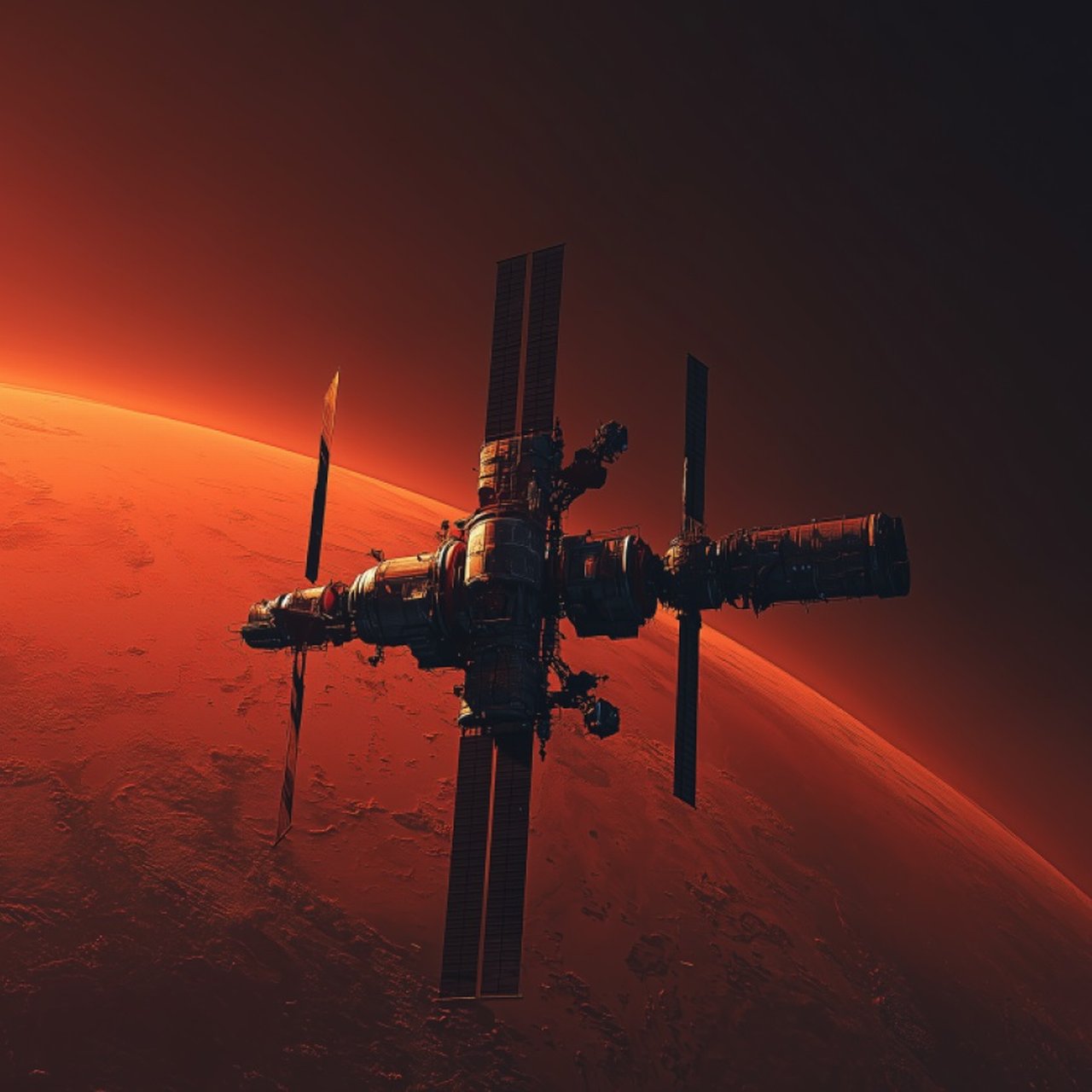
Digital Disruption | Crisp & Short
Growth greetings from Mars: the 6 hottest trends in the space economy The 6 hottest trends in the space economy
Space is fast becoming an indispensable economic consideration. Here are six developments you should be prepared for – from 3D printing to laser communication.
Growth greetings from Mars: the 6 hottest trends in the space economy Growth greetings from Mars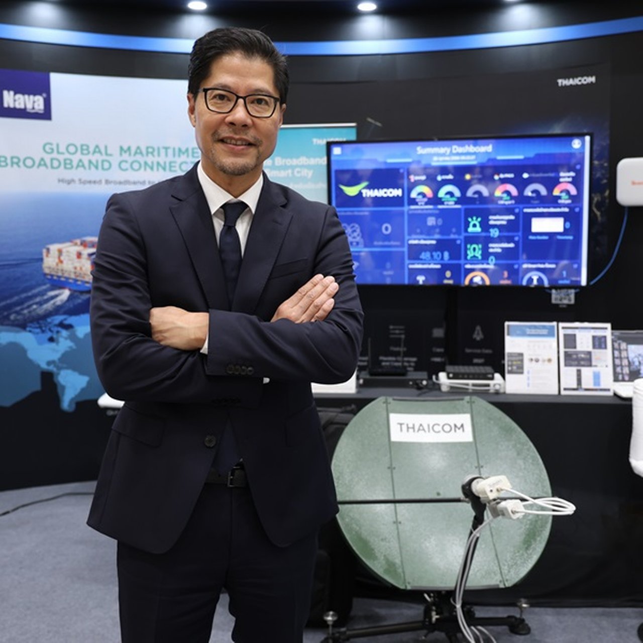
Digital Disruption | Insights
Exploring new frontiers Exploring new frontiers – in space
Thaicom’s CEO Patompob “Nile” Suwansiri sees space tech as key to tackling climate change, disaster response – and securing his company’s future.
What Next: our topics


